
March 2024 Militaria & Collectibles Auction
Lot 494:
Description
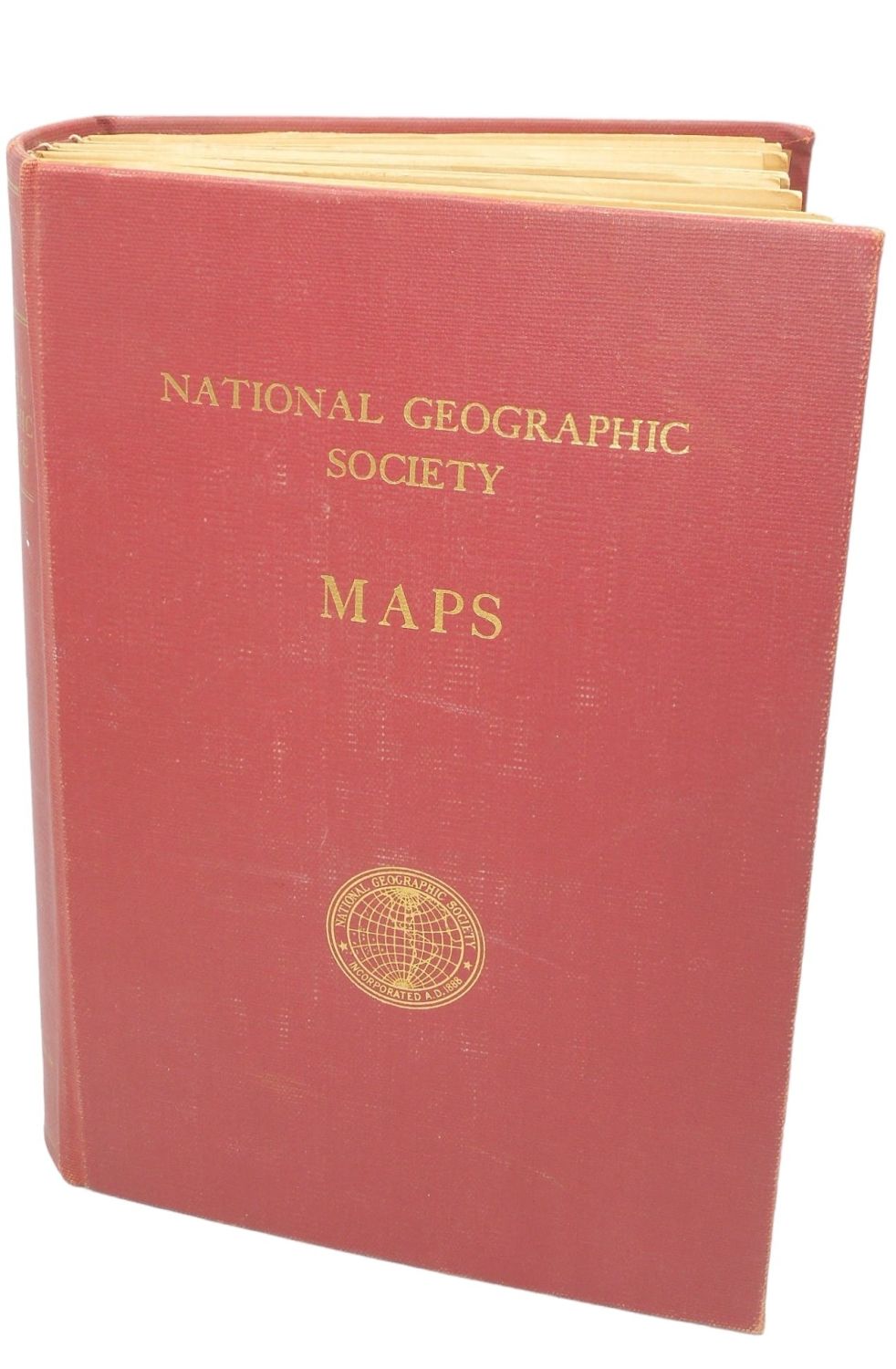
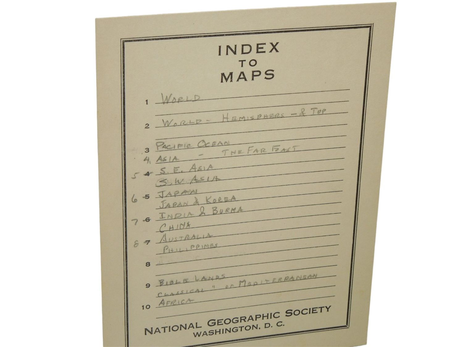
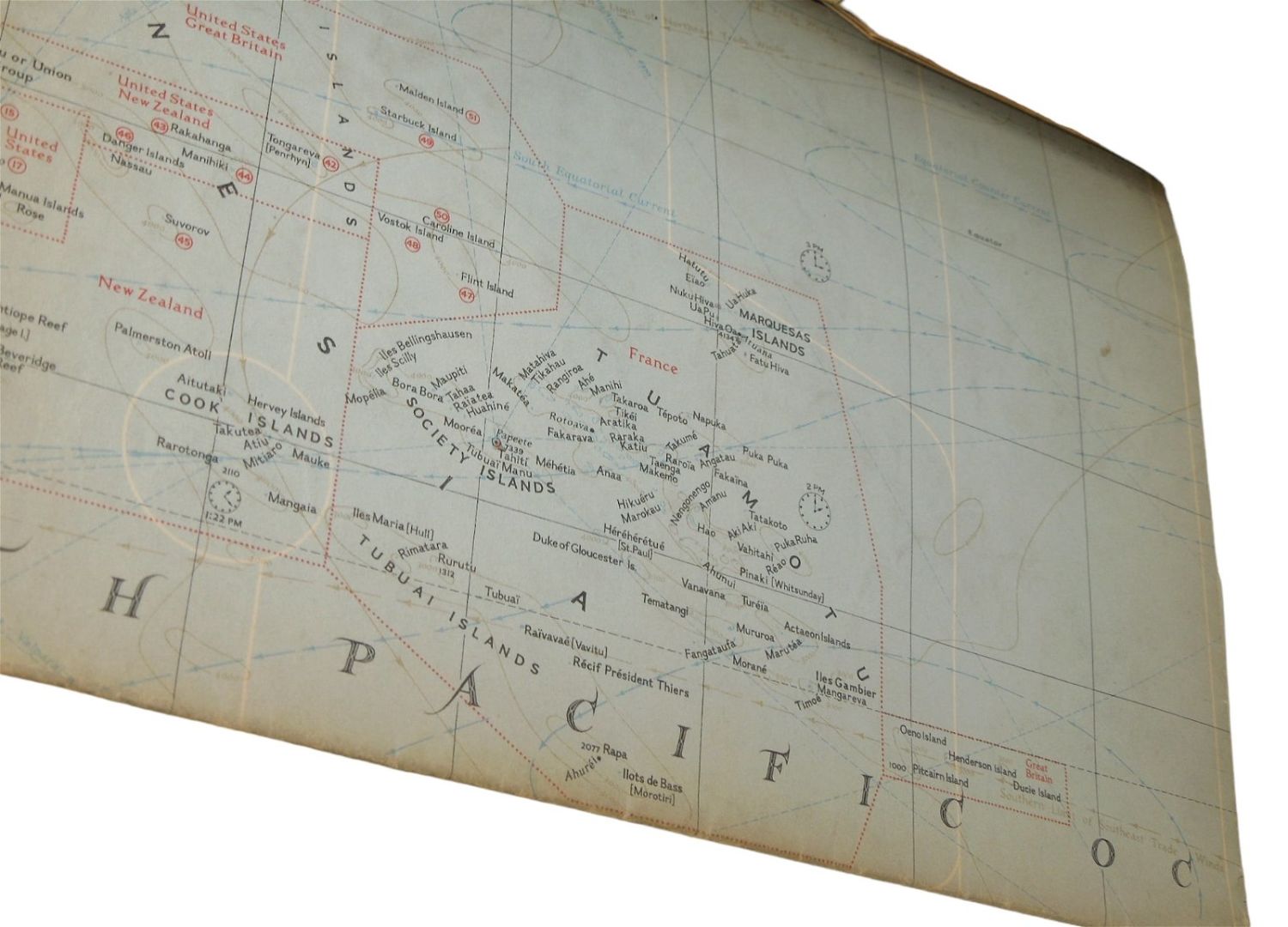
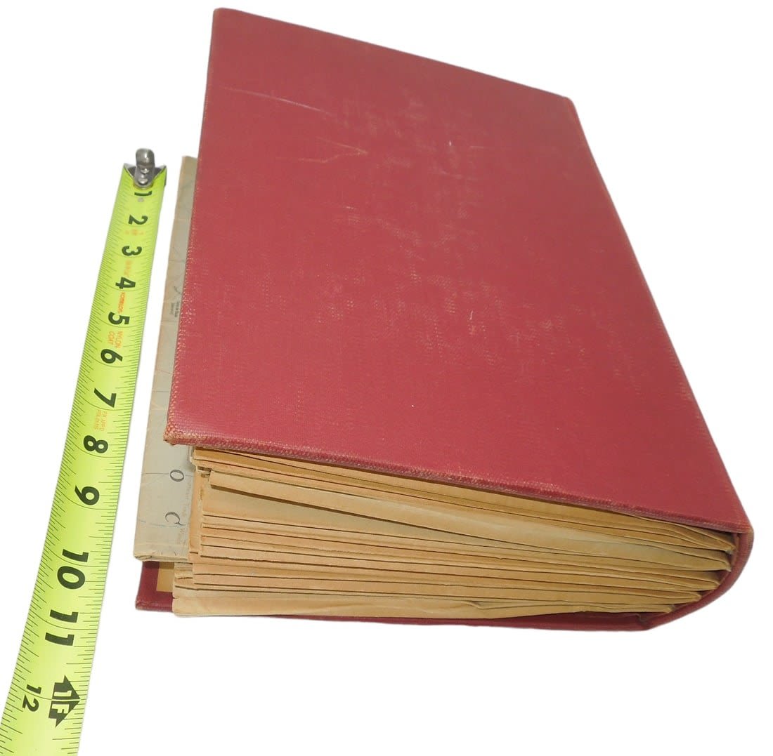
1930s – 1950s National Geographic Society Maps Collection. Lot of 30 maps. This is a National Geographic Society published binder for holding maps and Indexes. Book consists of a hard cover with ten numbered pockets for holding the maps and Indexes. Approximate binder size: 8 x 11 x 6 inches. This binder itself was most likely published circa late 40s. The binder contains a total of 30 maps and ten Indexes. Laid-in at the front is a gummed unused ‘Index To Maps’ to be filled in by the owner. The ten maps with Index are as follows: Southeastern United States (Two map copies, one Index) – 1947; South Central United States – 1947; North Central United States – 1948; Southwestern United States – 1948; Northwestern United States – 1950; North America – 1952; Great Lakes Region – 1953; Mexico and Central America – 1953; New England – 1955; Canada, Alaska and Greenland – 1958. Additionally there is the 1958 map ‘National Parks and Historic Sites of the United States and Canada’ and a 1937 ‘World Map’ prepared by the American Geographical Society. The maps appear to be as originally folded with very slight wear; book and Indexes with slight wear. Even though there are 10 maps with index there are still 30 maps in this lot. Excellent overall condition.
Condition: See description for notes on condition. Please note that all items are sold as is without returns, so please ask questions in advance of bidding.
Share this lot: